
Cherrapunji in Meghalaya is facing Its lowest Monsoon in History
Cherrapunji, once the world’s rain capital, is facing its driest monsoon spell with 50% below-normal rainfall. As global warming shifts rainfall towards western India, This decline highlights how India’s monsoon is becoming less reliable, with fewer rainy days but more extreme downpours.
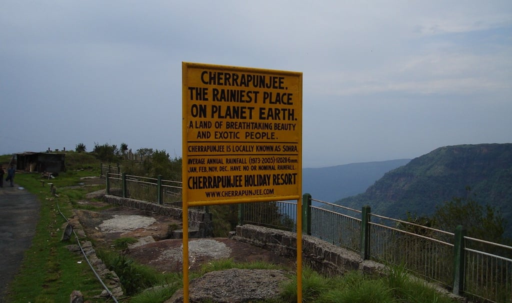
Cherrapunji holds the crown for the wettest place on our Planet, located in the Khasi hills of Meghalaya also known as the “abode of clouds”. It also once set a world record with 22,987 mm of rainfall in the year 1861. The area has gotten an average of 11,000 mm of rain per year since records began to be kept there in the 1970s. But from 2005, Cherrapunji has been getting only 8,000–9,000 mm of rain a year, well below its old average. It may look like a natural change, but recent evidence suggests that this is clearly part of a bigger climate pattern.
And this year has been very different for the wettest place on our planet. In this monsoon season, between June 1 and August 20, according to IMD records, Cherrapunji received 50 percent less rain than normally the area received in the past decades, bringing it close to recording its driest monsoon on record in the history. This change is also worrisome as an analysis of data by the Centre for Science and Environment suggests that 32 weather stations in India got more rain between June and July than Cherrapunji, and some stations even received rain around 5000mm in Maharashtra. This is shocking for a town known that receives endless showers of rain.
This decline has not come suddenly. Many reports suggest that the global climate patterns are shifting, and with this the path of monsoon winds that make most of the rainfall in India is changing rapidly. With this change of monsoon winds, the rain that once poured heavily over the northeast is now increasingly shifting towards central and western India. A report by a group of scientist suggest that Analysis of rainfall trends from 1951 to 2022 shows that extreme rainfall events have gone up in states like Gujarat and Maharashtra, and places like Meghalaya, Assam and other North East states have started receiving less rain than before.
The science behind this change is also interlinked with warming in the environment. Basic principles of physics says that with every 1°C rise in temperature, the atmosphere can hold about 7% more moisture which can be easily understood. With increase in temperature the air can now collect more water and then store these water vapor for longer periods of time instead of releasing it as frequent showers earlier. This result in longer dry spells in any part, and when the capacity of the air to carry water vapor exceeds, the rain finally falls all of rain once in intense bursts. That is why across India we now see fewer rainy days overall, but more days of extreme downpours.
This problem is not limited to Cherrapunji only. Meghalaya as a whole, often called the “abode of clouds,” has seen a 43 percent rain deficit this season, the highest in India. For a state whose very name means clouds, this is a worrying sign.
If this proves to be Cherrapunji’s leanest monsoon in history, this may not be just a broken record. It is a warning. This figure is not just about one town or one state or the Indian monsoon itself but the climatic pattern in the world, which is becoming more unpredictable and harder to rely on.
This truth shall concern us all, with visible intense downpours, cloudbursts, flashfloods and landslides in the country, the dark effects of climate change are all in front of us. This is the time we should not just wait for magic to happen instead be sensitive about the very place we live in and not wait for another disaster.
About The Author
Sandhya currently works as a Research Associate at the PALIPRAYAS FOUNDATION. She has previously worked at the Claylab Foundation. She has studied Education in her undergraduate studies and is passionate about topics concerning climate change, human health, and education.


PALIPRAYAS FOUNDATION
People Advocating for Low-Carbon Impact