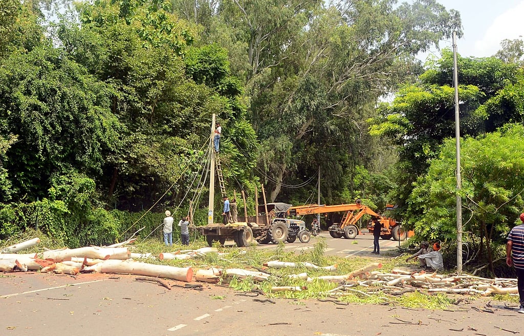
Madhya Pradesh has the largest Forest Area under Encroachment in India
Madhya Pradesh leads India in forest cover, but on the other hand, it faces massive encroachment across India, with an area more than 1.5 times that of Goa of forest encroached and only 3.2% removed, raising flood, climate, and biodiversity risks.


Madhya Pradesh, the state with the largest forest and tree cover in the country, also has the largest forest area under encroachments. The Ministry of Environment, Forest, and Climate Change replied to a question asked by Shri Manoj Tiwari in the Rajya Sabha.
As of 31 March 2024, official figures reveal that 546,089.45 hectares of forest land are under encroachment in the Pradesh. Of this, only 17,496.54 hectares have been removed, meaning that just 3.2% of encroached land has been cleared. While the state boasts the largest forest area, this unchecked encroachment raises serious ecological and governance concerns. According to the India State of Forest Report (2023), Madhya Pradesh has 85,724 sq km of forest and tree cover, nearly 25% of its geographical area. On the other hand, more than one-and-a-half times the area of Goa of area is encroached by forests in India.
Other states also reflect the gravity of the issue. Assam, for instance, has 362,082.62 hectares under encroachment, with not a single hectare removed, an area similar to that of the whole state of Goa. Maharashtra has 57,554 hectares encroached, showing how widespread this challenge is.
The contrast becomes sharper in Assam’s case. The state is home to extraordinary biodiversity and forest wealth, also suffers from one of India’s worst flood vulnerabilities. In 2024 alone, more than 29 lakh people were affected by floods. The Rashtriya Barh Ayog (1980) had already estimated that nearly 50% of Assam’s 7.8 million hectares is flood-prone.
Encroachment is not merely a forest management issue—it directly feeds into natural disasters. Much of the encroachment occurs along riverbanks and riparian forests. When rivers such as the Brahmaputra in Assam or the Narmada in Madhya Pradesh pass through forests, the vegetation acts as a protective shield, slowing down water flow, anchoring soil, and reducing erosion.
But when forests along rivers are encroached upon or cleared, the river loses this buffer. Water runs faster, siltation increases, and floods become more destructive. Assam’s recurrent floods and Madhya Pradesh’s increasing catchment degradation are two sides of the same story.
For Madhya Pradesh, its status as India’s “forest crown” is both a matter of pride and a warning. While it contributes immensely to carbon sequestration, biodiversity, and tiger conservation, the fact that over half a million hectares remain under encroachment, with only 3.2% removed, undermines its ecological security.
Encroachment not only fragments wildlife corridors but also increases soil erosion, reduces water availability, and destabilizes livelihoods dependent on forests. If left unchecked, this slow degradation may strip Madhya Pradesh of the very ecological advantage that places it ahead of all other states.
India cannot afford to ignore this silent erosion of its forests. From Madhya Pradesh’s encroached crown to Assam’s floodplains under pressure, the lesson is clear: encroachment is not just a land issue—it is a climate and disaster risk multiplier.
